


Hon. Minister Prasanna Ranathunga
Ministry of Urban Development & Housing

Hon. Minister Arundika Fernando
State Minister of Urban Development & Housing

W.S. Sathyananda
Secretary,
Ministry of Urban Development & Housing
Ministry of Urban Development & Housing

Eng. R. A. S.Ranawaka
Director General

Projects
News & Events
")

")
")
")

Public Notice
Set Back Information
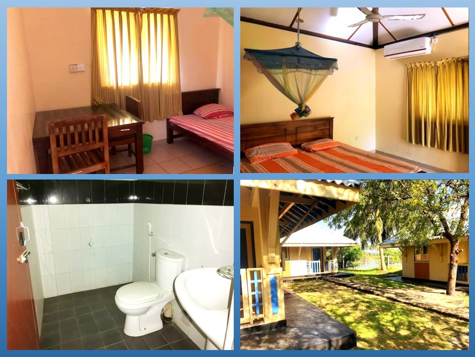
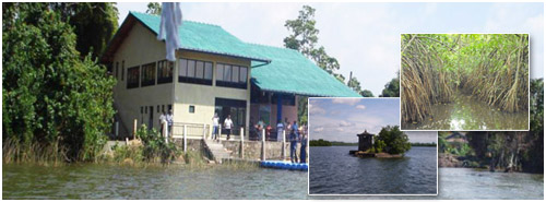
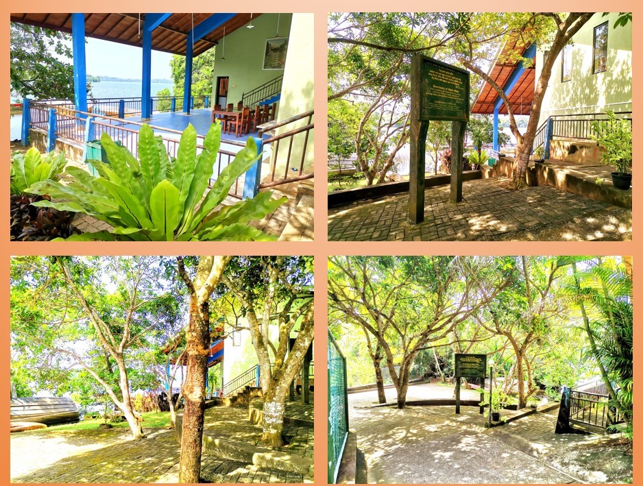
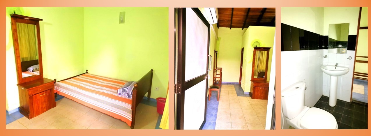
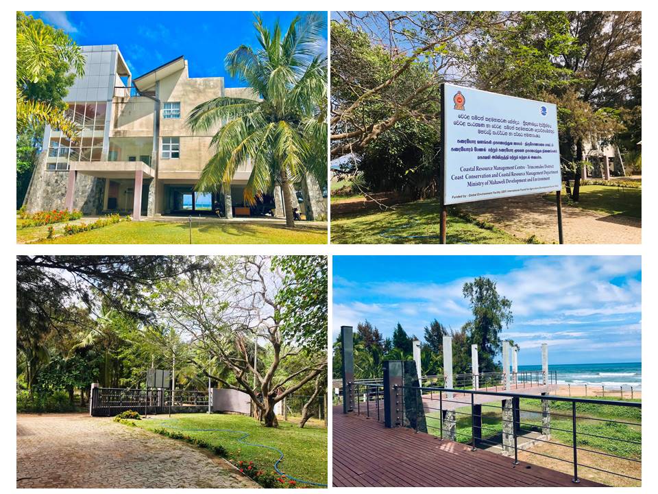
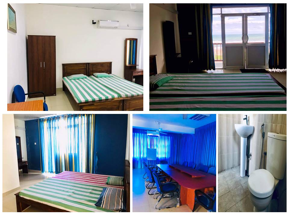
Circuit Bungalow Reservation Application - CC&CRMD Staff
Circuit Bungalow Reservation Application - Public
Reservation (Head Office) : +94 11 24 49 754
| Segment No | Segments | Source Map | Latitute | Longitute | Level of Vul- nerability | Proposed Setback (M) | ||||
| Reservation | Restricted | Total Setback | ||||||||
| 13 | Duwa Pitipanaweediya Mora Wala to Dikovita Harbour North Boundary |
Colombo | 7°12'13.00"N 7°00'34.80"N |
79°49'02.50"E 79°51'55.50"E |
Medium (-) | 15 | 30 | 45 | ||
| 14 | Dikovita Harbour North Boundary to Galleface Hotel Kollupitiya |
Colombo | 7°00'34.80"N 6°55'14.40"N |
79°51'55.50"E 79°50'43.60"E |
Medium (+) | 20 | 30 | 50 | ||
| 15 | Galleface Hotel Kollupitiya to Wellawatta Railway Bridge |
Colombo | 6°55'14.40"N 6°52'44.40"N |
79°50'43.60"E 79°51'24.10"E |
Low (-) | 10 | 25 | 35 | ||
| 16 | Wellawatta Railway Bridge to Mount Lavinia Hotel |
Colombo | 6°52'44.40"N 6°50'06.00"N |
79°51'24.10"E 79°51'46.10"E |
Medium (-) | 15 | 30 | 45 | ||
| 17 | Mount Lavinia Hotel to Panadura River Mouth (Moratuwa Fishery Habour) |
Colombo | 6°50'06.00"N 6°43'05.70"N |
79°51'46.10"E 79°54'05.60"E |
Low (+) | 15 | 25 | 40 | ||
| Segment No | Segments | Source Map | Latitute | Longitute | Level of Vul- nerability | Proposed Setback (M) | ||||
| Reservation | Restricted | Total Setback | ||||||||
| 11 | NainamadamaWellamankaraya Gin Oya River Mouth to Negombo Luice Place Bolanji Road |
Gampaha | 7°18'12.05"N 7°13'18.70"N |
79°50'14.16"E 79°50'19.50"E |
Medium(-) | 15 | 30 | 45 | ||
| 12 | Negombo Luice Place Bolanji Road to Duwa Pitipanaweediya Mora Wala |
Gampaha | 7°13'18.70"N 7°12'13.00"N |
79°50'19.50"E 79°49'02.50"E |
Law (+) | 15 | 25 | 40 | ||
| 13 | Duwa Pitipanaweediya Mora Wala to Dikovita Harbour North Boundary |
Gampaha | 7°12'13.00"N 7°00'34.80"N |
79°49'02.50"E 79°51'55.50"E |
Medium(-) | 15 | 30 | 45 | ||
| Segment No | Segments | Source Map | Latitute | Longitute | Level of Vul- nerability | Proposed Setback (M) | ||||
| Reservation | Restricted | Total Setback | ||||||||
| 18 | Panadura River Mouth (Moratuwa Fishery Habour) to Pinwatta Thalpitiya Outlet |
Kalutara | 6°43'05.70"N 6°40'56.76"N |
79°54'05.60"E 79°55'02.46"E |
Medium (-) | 15 | 30 | 45 | ||
| 19 | Pinwatta Thalpitiya Outlet to Kalutara Kalido Beach Strip Northern Boundary |
Kalutara | 6°40'56.76"N 6°35'15.60"N |
79°55'02.46"E 79°57'17.30"E |
Law (+) | 15 | 25 | 40 | ||
| 20 | Kalutara Kalido Beach Strip Northern Boundary to Avani Hotel Katukurunda (Southward Boundary of Kalutara Estuary) (Proposed to Kalido Strip as a Conservation Zone) |
Kalutara | 6°35'15.60"N 6°34'14.60"N |
79°57'17.30"E 79°57'33.90"E |
No Build Zone | No Build Zone | ||||
| 21 | Avani Hotel Katukurunda (Southward Boundary of Kalutara Estuary) to Payagala South Railway Crossing |
Kalutara | 6°35'15.60"N 6°34'14.60"N |
79°57'17.30"E 79°57'33.90"E |
Medium (+) | 20 | 30 | 50 | ||
| 22 | Payagala South Railway Crossing to Beruwala Kechchimale Mosque |
Kalutara | 6°31'14.80"N 6°28'13.40"N |
79°58'42.80"E 79°58'24.47"E |
Law (+) | 15 | 25 | 40 | ||
| 23 | Beruwala Kechchimale Mosque to Induruwa Headland (Saman Villa Hotel) |
Kalutara | 6°28'13.40"N 6°23'41.70"N |
79°58'24.47"E 80°00'13.34"E |
Medium (+) | 20 | 30 | 50 | ||
Contact Info
- 4th Floor, Ministry of Fisheries Building,
New Secretariat,
Maligawatta,
Maradana,
Colombo 10 - +94 11 244 97 54
- info[at]coastal.gov.lk
- +94 11 243 8005
Hotline : +94 11 244 97 54